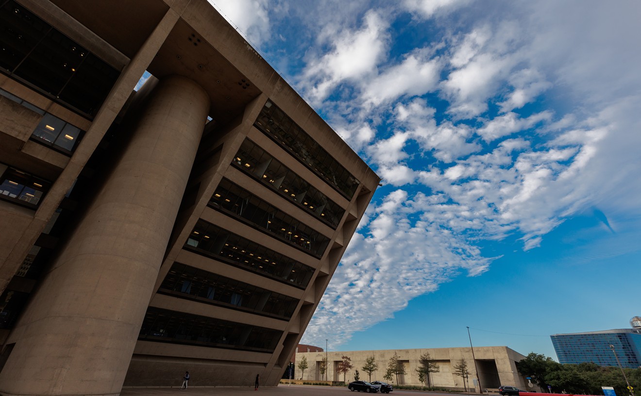
If you've got time this afternoon you may want to dial up the meeting of the Trinity River Corridor Project Committee, which will hear from Dallas CityDesign Studio second-in-command David Whitley about "community and economic development" around the river. Not sure how much Whitley's going to get to talk about this: Most of the PowerPoint's about the West Dallas plan. But toward the end there are a few vague hints about what's coming as the city hopes to connect downtown and the river and "shape a new community along the old meanders and
capitalize on current improvement efforts to create activity now."
I also see that Whitley's going before the City Plan Commission on Thursday to brief those folks about something called "LINC Dallas," which stands for "Leveraging and Improving Neighborhood Connections." Thursday's look-see promises big doings: a "briefing on the City's next large-scale urban design initiative." I called Brent Brown, head of the CityDesign Studio, to see if today's briefing and Thursday's talk are related. And, yes, they are.
The CityDesign Studio, he says, has just begun to look at five areas
along the Trinity, on both sides of the levees, to see "how do you
steward the dreams and interests of those areas and create something
thoughtful and appropriate" among developments planned and possible.
Those areas, says Brown, include Riverfront Boulevard, the Cedars, along
the Lamar levee and the Tenth Street Bottoms and Cadillac Heights.
(Now, perhaps, may be a good time to familiarize yourself with the 2005 Trinity River Corridor Comprehensive Land Use Plan.)
"There
are plans and public investment," says Brown, "but how do you galvanize
those areas
and articulate with greater clarity the opportunity there as well as the
type of
connections that can be beneficial? This is like the work we did in
West Dallas; that's what it was about. We just hadn't named it. So we
sat down and said, 'How do we communicate what we're trying to do? And
at the same time we're working with Economic Development and Housing and
engaging the public in urban design and planning. The question became:
What's the next area? So we took a look around the Trinity and asked:
How do you get from downtown to the river? That's the question everybody
sees, but what's the answer?
"Yes, there are plans in place, but
how do we talk about leveraging those connections? With LINC we're just
beginning. For the last month we've been out meeting with folks, doing
community engagement, briefing the council members in the areas
affected. But this is the beginning of the beginning. We're trying to
learn and understand what people have been doing and what they want to
do."
Like he says, the beginning of the beginning. And it starts right about ... now.


