
Adobe Stock

Audio By Carbonatix
While North Texas students are celebrating their third snow day in a row, the rest of us are past stir crazy.
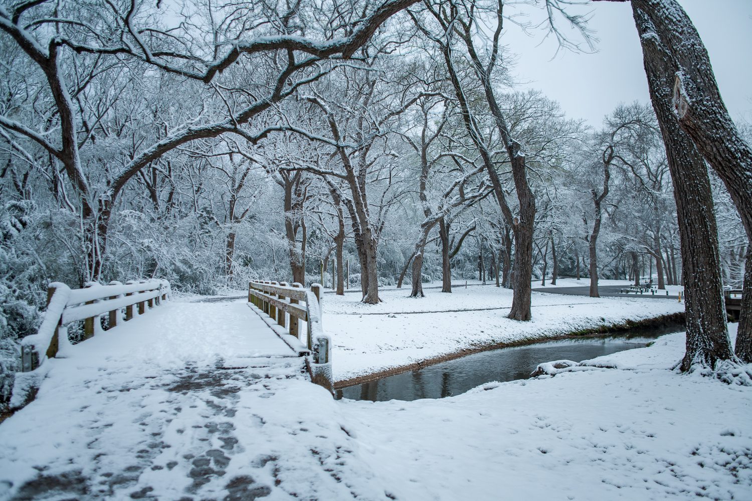
Salt and sand treatments have helped keep Dallas’ highways somewhat navigable since Winter Storm Fern hit North Texas last Friday, dropping up to five inches of snow and sleet across the region. And although Wednesday afternoon’s warmer temperatures are expected to finally start thawing out neighborhood roads, you won’t want to put your winter gear back in storage just yet.
A second push of arctic air is expected to pass through North Texas at the end of this week, plunging us back into freezing temperatures. The latest forecast from the National Weather Service’s Fort Worth office shows the cold front will move through Dallas-Fort Worth early Friday morning, potentially bringing wind that will make temperatures feel cooler than they are.
While Friday is still expected to get into the mid-40s, Saturday’s high currently sits at 32 degrees. The overnight low is 12 degrees. Luckily for those of us with cabin fever, though, the latest wave of winter air isn’t expected to bring any precipitation with it, and forecasters expect that the moderate temperatures and sunshine between now and Friday will give most of the remaining ice a chance to melt off before the next round of below-freezing air.
There is a 15% chance DFW will see hard-freeze temperatures — lows of 10 degrees or less — overnight through the weekend, although areas along the Red River will be at the highest risk. That means you’ll need to continue dripping your sinks, insulating your pipes and bringing plants inside through Sunday. By Monday, highs are pushing back towards the 60s, which will feel practically summery after the last five days.
The National Weather Service is continuing to caution drivers, as overnight freezing has helped build up black ice along some North Texas roadways. While we’re all gunning to get out of the house, last weekend’s ice needs just a bit more time to thaw.