
Al Bello / Getty Images

Audio By Carbonatix
Editor’s Note: 01/016/2025, 11:08 a.m.: This article has been updated to include current weather forecast information.
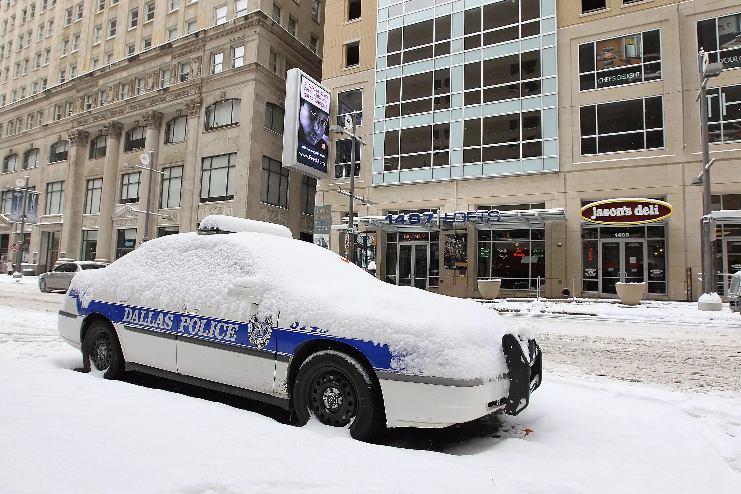
It’s that time of year again. If there’s one thing that’s (almost) as reliable as a disappointing January for the Dallas Cowboys, it’s the possible arrival of a polar vortex to start off the year. As of Monday morning, however, a dose of the cold stuff seems to be on its way.
What is a polar vortex, exactly? The National Weather Service defines it as “a large area of low pressure and cold air surrounding both of the Earth’s poles.” North Texas braced for one about this time last year when, on Jan. 9, a strong arctic air mass was forecast to sink temps below freezing.

The NWS has “high confidence” we’ll see some snow this week in North Texas.
National Weather Service
Although last week was rather pleasant with sunny days and temps in the 50s, 60s and even 70s, and not much wind, it seems that we’re in for a rather stark shift sooner than later.
“There is high confidence in at least measurable snow Wednesday night into Friday,” the NWS for Fort Worth-Dallas noted on its homepage. “A rain-snow mix is expected, so exact amounts are still uncertain. If temperatures are a few degrees warmer or cooler than currently forecast, final snow accumulations may be lower or higher. Hazardous travel is likely Thursday and Friday, especially on untreated roads.”
Thursday and Friday are WFAA Weather Alert Days for the potential of accumulating snow. Flurries start as early as Wed night with snow accumulations beginning Thursday. It'll dry out from west to east Friday morning, but travel impacts will likely last through Friday #wfaaweather pic.twitter.com/gIxB4oEIoN
— Pete Delkus (@wfaaweather) January 6, 2025
The Dallas Morning News reported last week that “[e]arly weather models show a chance of a polar vortex hitting North Texas next week that could send temperatures plunging below freezing,” adding that “winter remains the most significant cause of concern for Texas’ power grid.”
Of course, any talk of the grid’s stability understandably makes people in Texas nervous. In December, we noted that a report from Electric Reliability Council of Texas (ERCOT), the power grid operator, revealed rolling blackouts are 50%-80% likely in a repeat of the catastrophic winter storms that ravaged the state in 2021.
But, we would never begin to make plans based on the weather without first consulting local guru Pete Delkus. On Monday, Delkus sounded the alarm for extreme weather later this week, echoing much of what the NWS warned about.
“Thursday and Friday are WFAA Weather Alert Days for the potential of accumulating snow,” he posted to X. “Flurries start as early as Wed night with snow accumulations beginning Thursday. It’ll dry out from west to east Friday morning, but travel impacts will likely last through Friday.”