
iStock/Mitchell Wessels

Audio By Carbonatix
On Wednesday afternoon, as forecasts of baseball-sized hail and possible tornadoes rolled in, residents across North Texas scrambled to get their cars under cover and themselves indoors.
At Dallas/Fort Worth International Airport and Dallas Love Field, hundreds of flights were canceled, leaving some passengers with time to kill at the airport.
Colleges and universities canceled afternoon classes, telling students to stay inside where it was safe.
And then, after all that, not much happened.
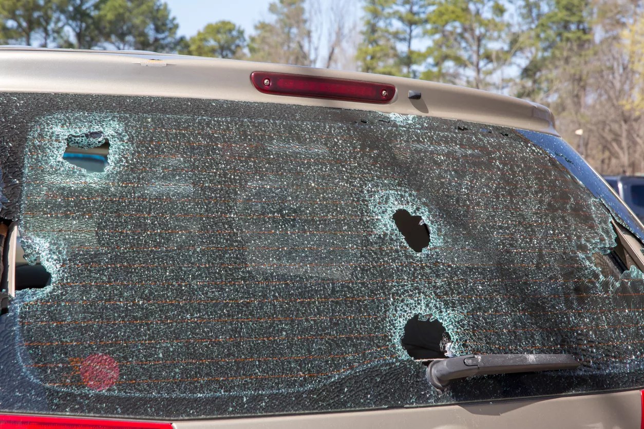
Although the DFW area did see some strong, damaging winds Wednesday night, most of the mayhem that forecasters predicted didn’t materialize, said Jason Dunn, a forecaster with the National Weather Service’s Fort Worth forecast office.
On Wednesday, conditions looked ripe for large, damaging hail, Dunn said. Several large, isolated storms were moving into the area, which typically spells hailstorms, he said. But chances for hail began to drop through the evening, as those storms merged into a single line, which generally produces strong winds but no hail, he said.
“To get large hail, you typically need big storms by themselves with very, very large updrafts that can hold big chunks of ice up for a long time,” Dunn said.
Some wind damage was reported across the area, Dunn said, and a 74 mph gust of wind was recorded at Denton Enterprise Airport.
At least one TV meteorologist took the situation in stride.